
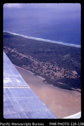
'Aerial view of road, farming and villages at eastern end of Tongatapu, Tonga'
- AU PMB PHOTO 126-003
- Item
- September 1968 - May 1969
Part of John Baker slides of Tonga
Baker, John R.
661 results with digital objects Show results with digital objects
'Aerial view of road, farming and villages at eastern end of Tongatapu, Tonga'
Part of John Baker slides of Tonga
Baker, John R.
'Aerial view of one of the villages on the northwestern tip of Tongatapu, Tonga'
Part of John Baker slides of Tonga
Baker, John R.

'Aerial view of northwestern tip of Tongatapu at Ha'atafu village, Tonga'
Part of John Baker slides of Tonga
Baker, John R.

Part of John Baker slides of Tonga
Baker, John R.
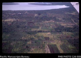
'Aerial view of farming land looking north to lagoon, Tonga'
Part of John Baker slides of Tonga
Baker, John R.

'Aerial view of farmed land on Tongatapu with Liahona on right side of photo, Tonga'
Part of John Baker slides of Tonga
Baker, John R.

'Aerial view of farmed land on Tongatapu between Liahona and Atele, Tonga'
Part of John Baker slides of Tonga
Baker, John R.
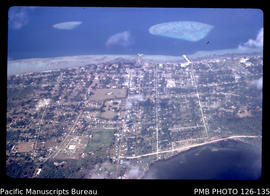
'Aerial view of downtown Nuku'alofa, Tonga'
Part of John Baker slides of Tonga
Baker, John R.
'Aerial view of downtown Nuku'alofa, Tonga'
Part of John Baker slides of Tonga
Baker, John R.
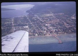
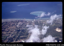
'Aerial view of central area of Nuku'alofa with Vuna Wharf and Mala'e Panga, Tonga'
Part of John Baker slides of Tonga
Baker, John R.