Showing 967 results
Archival description753 results with digital objects Show results with digital objects
Report Number: 178 Ganoka Land, Talasea Sub-District, 2pp. Includes map with scale 1”= 20 chns
Report Number: 178 Ganoka Land, Talasea Sub-District, 2pp. Includes map with scale 1”= 20 chns

Report Number: 179 Land Inspection - Kaus, 4pp. Map 179: 'Block 2 Kaus Benale, Hoskins, West Nakanai, Talasea Sub-District'. Includes map with scale 1:50,000
Report Number: 18 Aiome. [Map only held at Rep.No.12.]
Report Number: 18 Aiome. [Map only held at Rep.No.12.]
![Report Number: 180 Soil Survey of Bibling Land, West New Britain, 6pp. [No map.]](/pambu/catalogue/uploads/r/pacific-manuscripts-bureau/7/b/6/7b639a570b4ec06d8fcb6027fb950402e69179af6ae77e5898ac0cca233f55d7/PNG_DAL_LUS_report_180sm_142.jpg)
Report Number: 181 A Reconnaissance Soil Survey of the Dagi River Valley, Talasea Sub-District, 7pp. Includes map with scale 1”=1 mile
Report Number: 182 Walindi Plantation (L.K. Searle) Soil Survey of Planted Areas, 16pp. (Die Back disease in the cacao.) Includes map with scale 1"= 5 chns
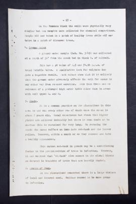
Report Number: 182 Walindi Plantation (L.K. Searle) Soil Survey of Planted Areas, 16pp. (Die Back disease in the cacao.) Includes map with scale 1"= 5 chns.

Report Number: 183 The Soils of the Rabaul Sub-District, New Britain. Part 1, Soils of the North East, 25pp.

Results 91 to 100 of 967