Mostrar 42 resultados
Descrição arquivística![Report Number: 425 Middle Ramu Valley Survey (Upper Middle), 83pp. [Maps 425, $25A & 425B.] ...](/pambu/catalogue/uploads/r/pacific-manuscripts-bureau/9/f/7/9f70e22948d142132542188b485495b10f743df53afbaa4530826cce3095623d/PNG_DAL_LUS_report_425smc_142.jpg)
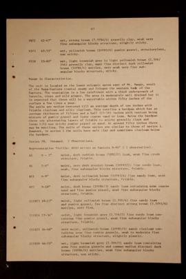
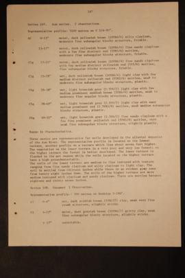
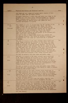
Report Number: 425 Middle Ramu Valley Survey (Upper Middle), 83pp. [Maps 425, $25A & 425B.] Includes map with scale 1:100,000
![Report Number: 425 Middle Ramu Valley Survey (Upper Middle), 83pp. [Maps 425, $25A & 425B.] ...](/pambu/catalogue/uploads/r/pacific-manuscripts-bureau/e/4/6/e467854cf225ac3e0dcb06ee6dc818a1cb809d88a693d4bf216fa31531685927/PNG_DAL_LUS_report_425smi_142.jpg)
Report Number: 425 Middle Ramu Valley Survey (Upper Middle), 83pp. [Maps 425, $25A & 425B.] Includes map with scale 1:100,000
Report Number: 447 Butop-Bukaua Portion 330. Report on Bukaua Land - Huon Gulf, Morobe Province, 18pp. [No map on file.] Includes map with scale 1” = 22.7 chns
![Report Number: 450 Kanauki Land, East Sepik District, New Guinea, 2pp. [No map on file.] Includes...](/pambu/catalogue/uploads/r/pacific-manuscripts-bureau/5/1/e/51ed7625cac19988f883a49630eaaa75bc0cb86545e62b31d25fa8ba88d2570c/PNG_DAL_LUS_report_450sm_142.jpg)
Report Number: 450 Kanauki Land, East Sepik District, New Guinea, 2pp. [No map on file.] Includes map with scale 1”=40,000
Report Number: 400 Soil Survey and Land Use Potential of the Kapiura-Dagi Area, West New Britain, 186pp. Includes map with scale 1: 50,000
Report Number: 400 Soil Survey and Land Use Potential of the Kapiura-Dagi Area, West New Britain, 186pp. Includes map with scale 1: 50,000
Report Number: 400 Soil Survey and Land Use Potential of the Kapiura-Dagi Area, West New Britain, 186pp. Includes map with scale 1: 50,000

Report Number: 143 Land Inspection Lammame Block - Southern Highlands District, Kagua Sub-District, 6pp. [No map on file.]
![Report Number: 425 Middle Ramu Valley Survey (Upper Middle), 83pp. [Maps 425, $25A & 425B.] ...](/pambu/catalogue/uploads/r/pacific-manuscripts-bureau/5/3/4/53474c8f5943162a1272f7421d816f3206fab426d5c150d7afe497c02c1d9697/PNG_DAL_LUS_report_425smd_142.jpg)
![Report Number: 425 Middle Ramu Valley Survey (Upper Middle), 83pp. [Maps 425, $25A & 425B.] ...](/pambu/catalogue/uploads/r/pacific-manuscripts-bureau/2/4/e/24eaf3d5836f1c852912ca6eade2091e41eac2ceb28d6570811f8d02c6bf0e68/PNG_DAL_LUS_report_425sme_142.jpg)
Resultados 21 a 30 de 42