Print preview Close
Showing 120 results
Archival description120 results with digital objects Show results with digital objects
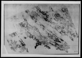
Map. Surveyor General, Dept of Lands, Surveys and Mines, Port Moresby, Arterial Road System, n.d., 1 sheet (A1), 2 copies.
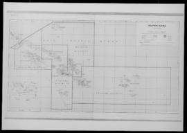
Map. Solomon Islands, Honiara, Ministry of Agriculture and Lands, Lands Division, Edition 5, 1976. 1 sheet.

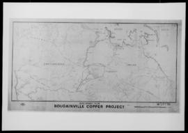
Map. Dept of Lands, Surveys and Mines Drafting Branch, Development Plan, Bougainville Copper Project, n.d., 1 sheet (A1).

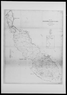
Map of Bougainville and Buka Islands, enlarged from geological map compiled by the Bureau of Mineral Resources, Canberra, in 1967; drawn by S.P. Wotton, 16 Apr 1968, amendments and additions, 19 Sep 1968, 1 sheet (A1).

M.E.P. Bellam, Abstract for proposed doctoral dissertation: “Colonial Town, Tribal Society: A Socio-Economic Study of Honiara British Solomon Islands,” Wellington, Victoria University, Geography Department, May 1967; Ts., 8pp. With “Comparative Conceptual Framework”, Ts., pp.i-v; and references, Ts., 3pp.
M.D. Irving Gass (Chief Secretary), Procedure for selecting and approving sites on which government buildings are to be erected or where government projects are to be undertaken and for approving building plans, BSIP Secretariat Circular No.25/62, 15 Jun 1962, Honiara, SPC Literature Production Training Centre, 11pp., annotated.

Results 51 to 60 of 120