Previsualizar a impressão Fechar
Mostrar 62 resultados
Descrição arquivística56 resultados com objetos digitais Mostrar resultados com objetos digitais

Report Number: 121 Soil-Crop Relationships – Hagita Plantation, 6pp Includes map with scale 1”= 4 mile
Report Number: 203 Norikori and Karubaruba (Karubaru) Swamp. [No file. For Map 203 See Rep.No.202.] Includes map with scale 1”= 20 chns
Report Number: 203 Norikori and Karubaruba (Karubaru) Swamp. [No file. For Map 203 See Rep.No.202.] Includes map with scale 1”= 20 chns
Report Number: 204 Norikori and Kaitaru Swamp. [No file. Or Map 204 See Rep.No.202.] Includes map with scale 1
Report Number: 204 Norikori and Kaitaru Swamp. [No file. Or Map 204 See Rep.No.202.] Includes map with scale 1

Report Number: 6 Upper Ramu C.S.I.R.O. Land Systems. An Appreciation of the Land Use Potential of the Upper Ramu Valley for Resettlement, 26pp. Includes map with scale 1

Report Number: 32 Soils Reports - Japlik, Vunapaladig and Mandres Freeholds, Portion of Trans-Vudal Forestry Areas and Vunapaladig Native Reserve, 6pp. Includes map with scale 1”=10 chns

Report Number: 145 Ialibu Basin. Investigation of Potential Tea Lands, Southern Highlands, 21pp. Includes map with scale 1”= 43.7
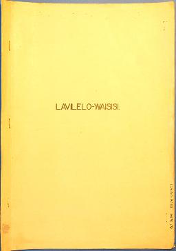
Report Number: 172 Lavilelo-Waisisi. Alan Hartley, 'Soils of the Cape Hoskins Area - New Britain', 6pp. [No map.] Includes map with scale 1”=10 chns

Report Number: 185 The Soils of the Rabaul Sub District, New Britain. Part 3, Soils of the West Bainings Coast, 62pp.; with transcripts of Parts 1 & 3. (Rep.Nos 185 & 185A.) Includes map with scale 1”=1 mile

![Report Number: 243 Agricultural Assessment - W.H.D. Tea Lands - Pugump [Tea Block Plantation], 1p...](/pambu/catalogue/uploads/r/pacific-manuscripts-bureau/c/3/8/c385a9371c3f7a75d37b558727cbe8c43efcd3519babf048b426dd89e7f0ba55/PNG_DAL_LUS_report_243sm_142.jpg)
Resultados 41 a 50 de 62