Showing 42 results
Archival description

Report Number: 139 Report on Land Inspection of Sugu Block, Southern Highlands District, Kagua Sub-District, n.d., Ts., 11pp.; Notes on the Sugu Valley, Kagua Sub-District, Souther Highlands, n.d., Ts., 3pp. Includes map with scale 1"= 1 mile
Report Number: 140 Land Inspection, Sumi Block - Southern Highlands District, Kagua Sub-District, 5pp. [No map on file.]
Report Number: 142 Land Inspection of Orrore, Kulubainio/Koinjo and Urinangil Blocks, Southern Highlands District, Ialibu Sub-District, 6pp. [No map on file.]

Report Number: 143 Land Inspection Lammame Block - Southern Highlands District, Kagua Sub-District, 6pp. [No map on file.]

Report Number: 168 Buvussi Pota Galai-Galai Soil Survey. I.S Huria, 'Physiographic Proto-interpretation of Buvusi/Galai Area, Papua New Guinea', 1984, International Institute for Aerial Survey and Earth Sciences, Ts., 7pp. R. Zijsvelt, 'Interim Report of Pota Galai Soil Survey - till 23-2-1968', 24 Feb 1968, Ts., 7pp. B.W. Strong, 'Progress Report on Kumbango Flood Recording', 12 Feb 1968, Ts., 13pp. R. Zijsvelt, 'Report on the North West Pota Galai and Galai Block', n.d., 11pp. Includes flood map 'Kumbango, West New Britain District', by B. Strong, 30 Jan 1968, and soil Map 168, 'Buvussi-Galai Pota-Galai', by R. Zijsvelt, 23 Aug 1968. Includes map with scale 1”=40 chns
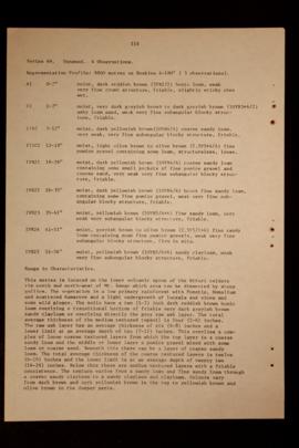
Report Number: 400 Soil Survey and Land Use Potential of the Kapiura-Dagi Area, West New Britain, 186pp. Includes map with scale 1: 50,000

Report Number: 400 Soil Survey and Land Use Potential of the Kapiura-Dagi Area, West New Britain, 186pp. Includes map with scale 1: 50,000
Results 1 to 10 of 42