Print preview Close

Showing 541 results

Archival description
Baker, John R. Solomon Islands English
Print preview View:

540 results with digital objects Show results with digital objects

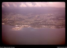
'Aerial view of Honiara and Point Cruz'
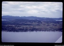
'Aerial view of Kukum, coastline and ridges to east of Honiara'
'Aerial view of Mand village in the Wana Wana lagoon'
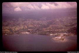
'Aerial view of Mataniko River and Point Cruz, Honiara, showing ridge levels'
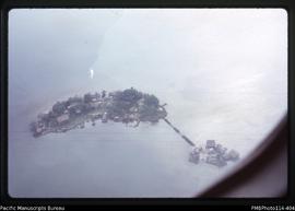
'Aerial view of Nusahope village in the Roviana Lagoon'
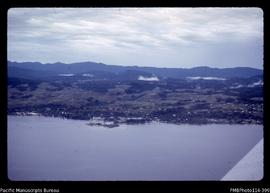
'Aerial view of Point Cruz, Honiara with ridges and Guadalcanal mountains'
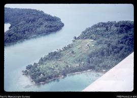
'Aerial view of Sasavele village in the Roviana Lagoon'
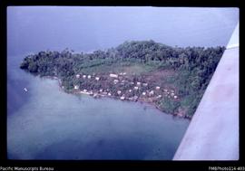
'Aerial view of Sikile village in the Roviana Lagoon'
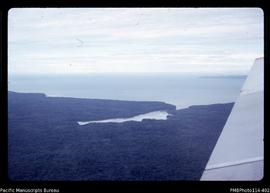
'Aerial view of Veru Harbour with the eastern tip of Tetepare Island'
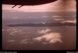
'Aerial view of eastern end of Tetepare Island'
Results 11 to 20 of 541