Showing 1088 results

Archival description
Baker, John R. With digital objects English
Print preview View:
'Aerial view of farmed land on Tongatapu with Liahona on right side of photo, Tonga'
'Aerial view of farmed land on Tongatapu between Liahona and Atele, Tonga'
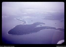
'Aerial view of eastern end of the Munda Bar'
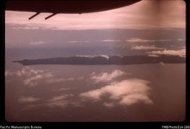
'Aerial view of eastern end of Tetepare Island'
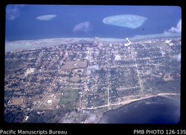
'Aerial view of downtown Nuku'alofa, Tonga'
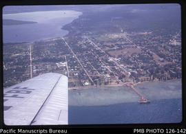
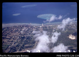
'Aerial view of central area of Nuku'alofa with Vuna Wharf and Mala'e Panga, Tonga'
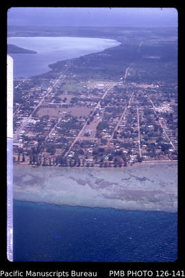
'Aerial view of central area of Nuku'alofa with Taaufa'ahau and Vaha'akolo Roads, Tonga'
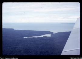
'Aerial view of Veru Harbour with the eastern tip of Tetepare Island'
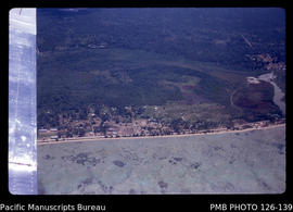
'Aerial view of Sopu reclamation area to the west of Nuku'alofa, Tonga'
Results 1041 to 1050 of 1088