
'Aerial view of Mu'a and lagoon on left and Liku coast on right, Tonga'
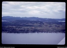
'Aerial view of Mataniko River and Point Cruz, Honiara, showing ridge levels'

'Aerial view of Mand village in the Wana Wana lagoon'
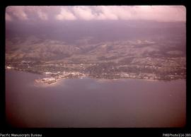
'Aerial view of Kukum, coastline and ridges to east of Honiara'
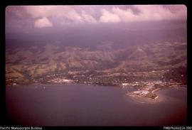
'Aerial view of Honiara and Point Cruz'
!['Aerial view of Betikama SDA [Seventh Day Adventist] mission school and the Lunga River, Guadalca...](/pambu/catalogue/uploads/r/pacific-manuscripts-bureau/4/4/8/4483fd243bb5e23ddfaad183a41584808db43ae4f6991286874e377b94d583ad/PMBPhoto114-392_142.jpg)
'Aerial view of Betikama SDA [Seventh Day Adventist] mission school and the Lunga River, Guadalcanal'

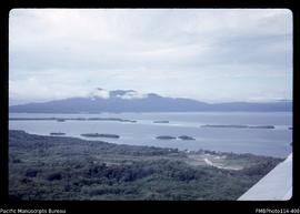
'Aerial view of Bamga village in the Roviana lagoon'

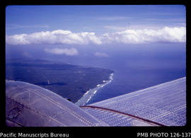
'Aerial view northwestwards over Houma ? and western leg of Tongatapu, Tonga'
'Aerial view looking southeastwards over Fahefa village towards Houma, Tonga'
'Aerial view looking over the Munda Airfield to Rendova Peak'