Área de identidad
Código de referencia
AU PMB DOC 540-287b
Título
Fecha(s)
- 1961-1962 (Creación)
Nivel de descripción
Unidad documental simple
Volumen y soporte
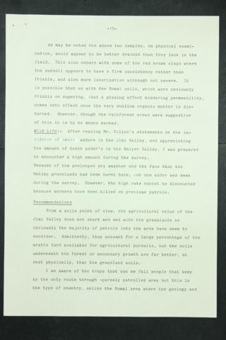
Digital PDF scanned from original.Part 2 of 3, pp. 16-29.
Área de contexto
Nombre del productor
Institución archivística
Área de condiciones de acceso y uso
Condiciones de acceso
Available for reference
Condiciones
The intellectual property of the original and digitised Land Use Reports, database and maps rests with the PNG Department of Agriculture and Livestock. Should you wish to publish any part of this report, please email the Department of Agriculture for permission.
Área de materiales relacionados
Existencia y localización de copias
Access this title at PMB Member Libraries or by contacting the Bureau directly: http://asiapacific.anu.edu.au/pambu/accessing.php
Área de notas
Notas
Place: Jimi
Province: Western Highlands Province
Original File Number:
PNG_DAL_LUS_report_287.pdf
The digital object attached to this record has been re-sized for web delivery. Please contact the Pacific Manuscripts Bureau (email: pambu@anu.edu.au) if you ... »
Objeto digital metadatos
Nombre del archivo
PNG_DAL_LUS_report_287smb.pdf
Tipo de soporte
Texto
Mime-type
application/pdf
